Indistylemen
SFMTA Staffers Share their Favorite SF Bike Rides
- Get link
- X
- Other Apps
By Eillie Anzilotti
Happy Bike Month, San Francisco! To celebrate, we’re sharing some of SFMTA staffers’ favorite rides through the city. From protected bike lanes to quick-build projects to Slow Streets, the JFK Promenade, and the Great Highway, all of the routes roll through projects that the SFMTA has completed in the last several years to make biking through San Francisco easier, safer, and joyful. We hope you get some inspiration for your next ride--and share your favorite route with us! For easy trip planning, we’ve included each ride below on an interactive map.
Jeffrey Tumlin, Director of Transportation: “I explore all of San Francisco by bike, but this is a standard trip: Starting from the Castro, I head up the Slow Street on Noe, where I like to admire the trees and people watch in Duboce Park. Then, I ride north on Scott to Fell Street along the Panhandle. When I reach the new JFK Promenade, it’s amazing how the feeling changes. You can hear birdsong everywhere, and I can’t count the number of kids whom I’ve seen learning to ride a bike, scooter, or skateboard. Then, I ride the whole length of the park to the Great Highway. I’ve lived in San Francisco my whole adult life, but thanks to the JFK Promenade I’ve been to the beach more times in the last two years than the previous 30. I love seeing the community out along the Great Walkway, and exploring the restaurants in the Outer Sunset and Parkside neighborhoods for a picnic. I grab a coffee at Andytown or the Kahve truck, then make my way back using Page Slow Street, stopping to pick up fresh flowers from Guy Clark, whose owned his shop on 15th and Noe for almost 40 years.”
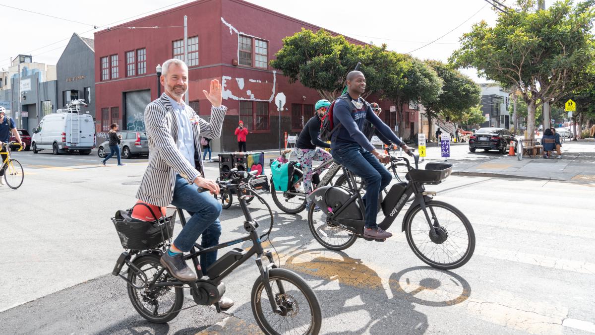
Soroush Roback, Engineer, Livable Streets; Kimberly Leung, Acting Pedestrian Program Manager, Livable Streets; Victoria Chong, Planner, Livable Streets; Winnie Lee, Engineer, Livable Streets: “We’ve done this ride as a group a few times since COVID began: We start in the Marina, ride through the Presidio the Inner Richmond, then take the Cabrillo Slow Street down into Golden Gate Park, then out to the ocean. The route spans Lake Slow Street, the JFK Promenade and car-free MLK, the Great Walkway, and the Arguello Bike Lanes, with a beer stop at Beach Chalet Fields. From end to end, it‘s a leisurely, safe 18 miles with great scenery and people watching!”
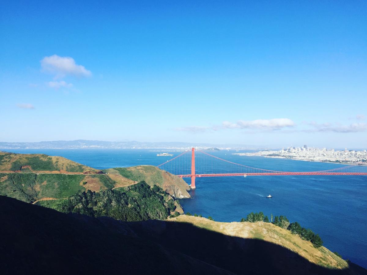
Mari Hunter, Planner, Parking & Curb Management: “I live in southern Marin so I ride back and forth over the Golden Gate Bridge. On the way in, I drop down to the bike path past Crissy Field then roll over Pac Heights and through Japantown using the bike route on Steiner to the Slow Street on Page, which I take down to Market. On the way back, I boogie over to the Webster bike lanes then wiggle up to the Slow Street on Clay, head west to Arguello and go through the Presidio to the bridge. I love the variation: some good hills, gradual climbs, sharrows, bike lanes, and Slow Streets—plus great views!”
Kimberly Leung, Acting Ped Program Manager, Livable Streets: “I bike from the Richmond neighborhood to the SFMTA office on South Van Ness taking Cabrillo Slow Street to 8th Ave to car-free JFK to the Page Slow Street to Market! I only started bike commuting in December 2019, and when the pandemic hit, car-free and car-light streets were a game changer for me by giving me the space to practice being more comfortable on a bike. Biking is now my primary way of getting around the city, and I’m so happy that so many other people can experience that on streets that are so much more inviting for people to walk and bike now.”
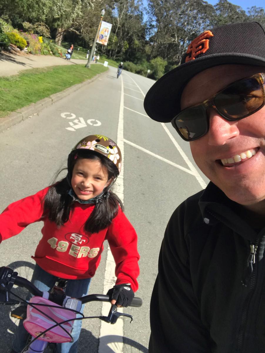
Mike Sallaberry, Senior Engineer, Livable Streets: “My nine-year-old daughter and I take this route to get ice cream! Starting at Cabrillo Slow Street, we take the 23rd Ave Slow Street north to Lake Slow Street, go along Lake to 5th Avenue, then take 5th Avenue south to get ice cream at Toy Boat on Clement. After we fuel up, we take 5th Avenue to Golden Gate Park, enter in at 6th Avenue, and then take JFK Drive west to Transverse, get on the dirt path along Crossover and take that back to Cabrillo. It’s very safe— almost all either a Slow Street, car-free JFK, or a path (short sidewalk segments too)—and the ice cream stop halfway is perfect to relax a bit and get sugared up for the return trip home.”
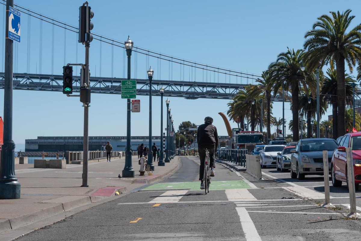
Jen Wong, Planner, Livable Streets: “I like to ride from the Ferry Building down the Embarcadero, then switch to the off-street San Francisco Bay Trail at Oracle Park, hugging McCovey Cove. From there, I take the 3rd Street Bridge and follow the waterfront past the Chase Center and end at Crane Cove Park or head all the way down Minnesota Slow Street into the Dogpatch. I love the views and how safe it is, with car-free portions and protected bike lanes—and the fun places to eat and drink at along the way, like The Ramp and Spark Social.”
Laura Stonehill, Engineer, Livable Streets: “We like to take weekly weekend rides as a family, and around a third of them go from our home in the Mission to Golden Gate Park so my five-year-old can ride on the car-free streets. My husband and I both have e-bikes, and we take a route that’s a bit steeper but more low-stress and car-light: We ride from 17th Street to Valencia, then take Octavia to the Slow Street on Page, all the way into Golden Gate Park. Once we reach car-free JFK, my five-year-old gets on her own bike and we ride to any park destination she wants—recently, we went all the way to the Boat Playground at 45th Avenue using the car-free route. On the way back, we like to stop at the Panhandle Playground before taking the Wiggle back to the Mission.”
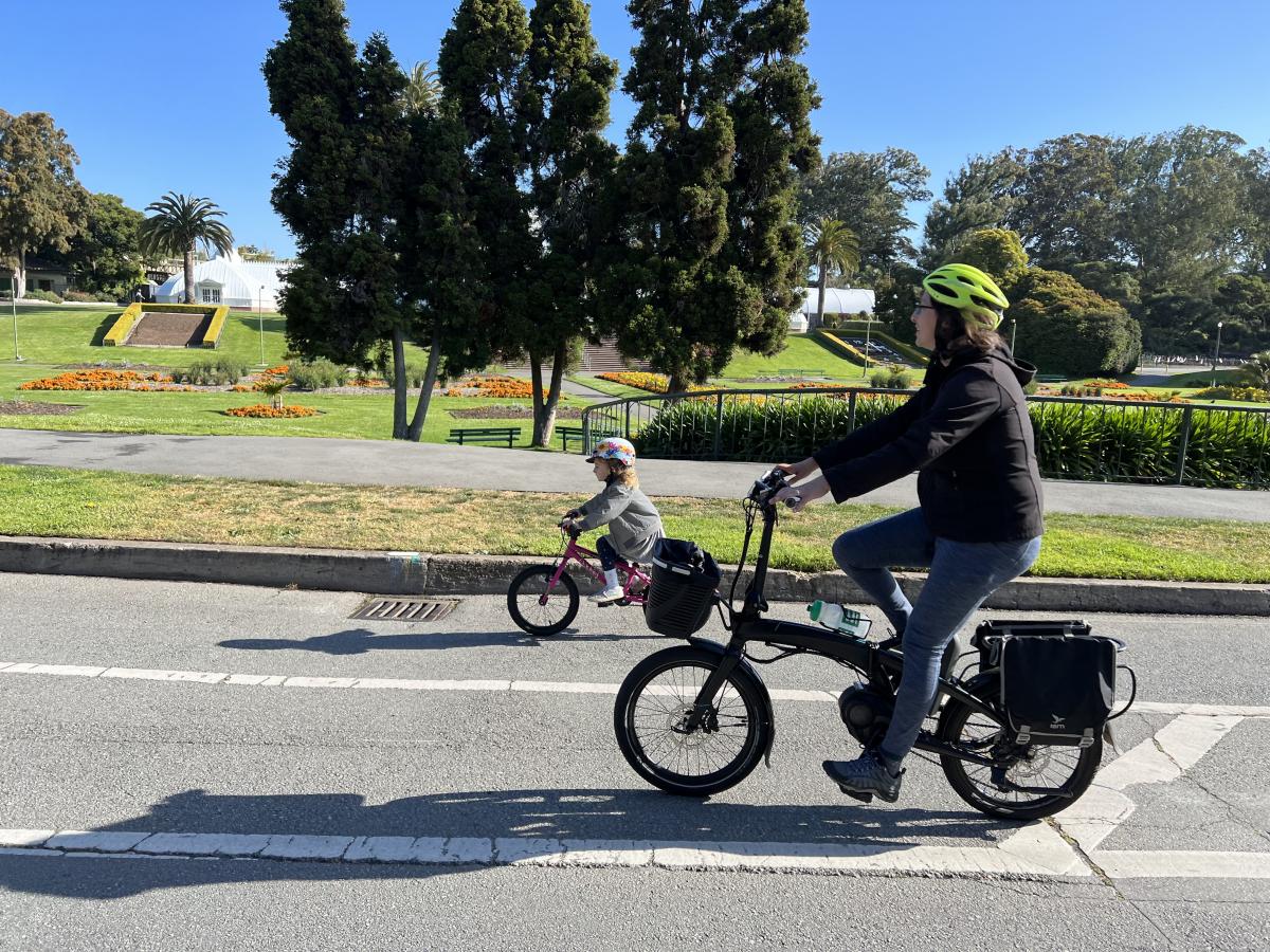
Eillie Anzilotti, Public Relations Officer, Livable Streets: My favorite ride crosses the whole city: I start at the Ferry Building and take Better Market Street to the Wiggle. In my childhood memories, Market Street is jam-packed with traffic, and I love how safe it is for biking now. Mid-Wiggle, I stop for a coffee at Café Reveille, slide my to-go coffee into my water bottle cage and keep pedaling! From there, I ride along the Panhandle in the Fell Street protected bike lane—it was installed as a social distancing response during COVID, and I find it to be super useful when the Panhandle path gets crowded. Then it’s on to the car-free route through Golden Gate Park and out to the Great Highway for some ocean views! Unless I take a longer coffee break, the whole ride takes me less than an hour—and it’s safe, (mostly) flat, and beyond pleasant.”
Published May 13, 2022 at 11:32PM
https://ift.tt/Rk3V0e2
Comments
Post a Comment
thanks for your feedback